01
Pavilion village
One tent per community, each with its own kitchen, its own table and its own hour on the programme. The village is the centre of the field and everything else arranges itself around it.
Festival · the site · planning
One field by the river, fourteen zones, one walking loop. The drawing comes later; the scheme is here now, so you can tell us what is missing before a single stake goes in the ground.
Our plan for 7–8 August 2027 at LeBreton Flats, subject to permits
| Field | Zones |
|---|---|
| The middle | 01–03 · pavilions, two stages |
| The eating end | 04–05 · kitchen street, craft row |
| The quiet end | 06–07 · kids, quiet zone |
| Water and washrooms | 08–10 · water and washrooms |
| The edges | 11–14 · gates, info, aid, bikes |
LeBreton Flats Park sits on the Ottawa River between the Canadian War Museum and the Pimisi O-Train station. It is federal land, flat, open and served by one train stop at the gate — which is why we picked it.
Venue · applied for, not granted
Everything below is what we intend to build on that field. Permission to build it belongs to the National Capital Commission, and the application goes in this autumn. Until the NCC signs, this page describes an intention with a date on it.
The scheme is public this early on purpose. A community that needs its cooking fire near a water point, a vendor who needs a van at the back of the row, a family that needs the quiet tent within sight of the kids' workshops — all of that is cheap to change on a page and expensive to change on a field.
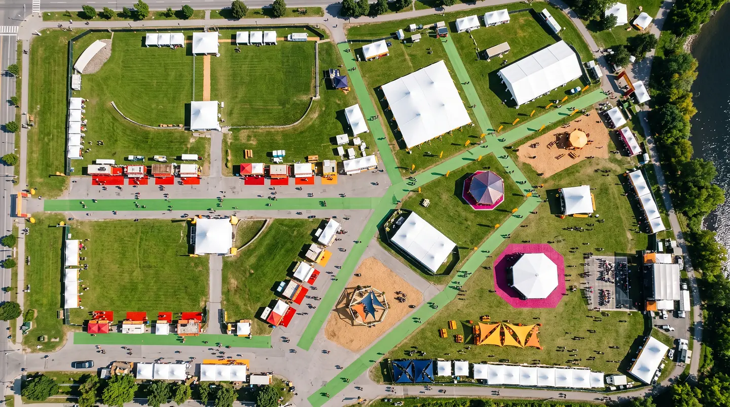
Pavilions and stages hold the centre, so the walk from any tent to any music is short and the sound carries across open grass.
Field 01 · zones 01–03

One stage in the working budget · the second is drawn in and waits on 15 February 2027
Until then this page carries the scheme, and the scheme is still soft.
Site scheme · revision 1 · 28 August 2026
Cooking and making run along one line, so the whole street is one walk and the row of makers faces it the entire way.
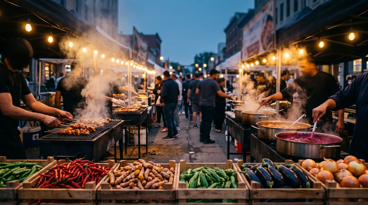
Vendor and maker applications open winter 2027 · pavilion kitchens are placed with the communities from autumn 2026
Children and rest get their own corner of the field, far enough from the speaker line that a two-year-old can sleep through the headliner.
The quiet zone is a fixed commitment of this festival and appears on every version of this map
The boring half of a map is the half people look for first. It gets marked before the stages do.
Gates, help and wheels sit on the perimeter, where an ambulance can reach them and a lost phone can be handed in without crossing the field.
Gate positions and vehicle lanes are set with the fire service and the paramedics in spring 2027
Four dates stand between the scheme above and a measured plan with distances on it. Each one is a document, an office and an answer we do not have yet.
Permit track · NCC and the City
The scheme above turns into a route, a gate rule and a programme on four other pages.
Festival · 04 of 07
Communities pick where their pavilion sits, and those conversations start this autumn. Vendors pick their frontage and volunteers walk the loop when both intakes open in winter 2027. Everything anyone says before then still moves a zone.